Canal towpath from the Bowline
Introduction
The photograph on this page of Canal towpath from the Bowline by Alec MacKinnon as part of the Geograph project.
The Geograph project started in 2005 with the aim of publishing, organising and preserving representative images for every square kilometre of Great Britain, Ireland and the Isle of Man.

There are currently over 7.5m images from over 14,400 individuals and you can help contribute to the project by visiting https://www.geograph.org.uk
Canal towpath from the Bowline
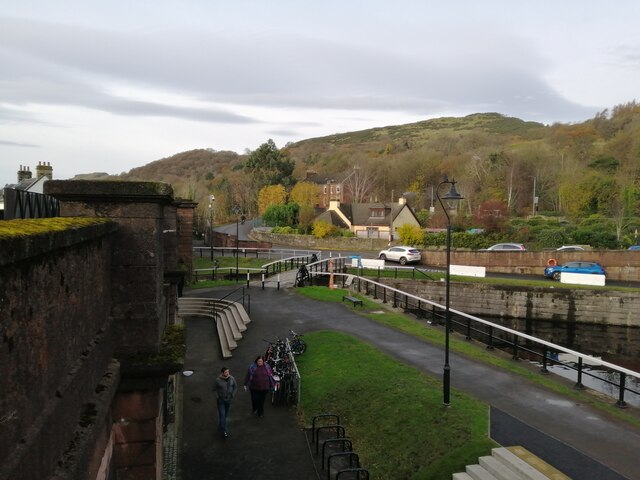
Image: © Alec MacKinnon Taken: 25 Nov 2021
The picture was taken from the Bowline, the new pedestrian and cycle path that uses a disused railway viaduct. It looks towards the point where the Forth and Clyde canal passes under the viaduct.
Images are licensed for reuse under creativecommons.org/licenses/by-sa/2.0
Image Location
Latitude
55.930209
Longitude
-4.480353