Lower Crownley
Introduction
The photograph on this page of Lower Crownley by Derek Harper as part of the Geograph project.
The Geograph project started in 2005 with the aim of publishing, organising and preserving representative images for every square kilometre of Great Britain, Ireland and the Isle of Man.

There are currently over 7.5m images from over 14,400 individuals and you can help contribute to the project by visiting https://www.geograph.org.uk
Lower Crownley
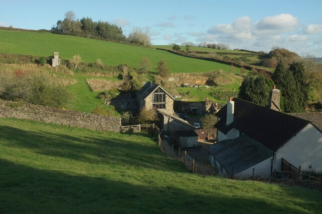
Image: © Derek Harper Taken: 21 Nov 2021
With a barn conversion in the centre. The listed farmhouse on the right is described at https://historicengland.org.uk/listing/the-list/list-entry/1096645 . Bovey Tracey footpath 5 runs between the buildings via a stile hidden in the shadows. Is that a toy fort?
Images are licensed for reuse under creativecommons.org/licenses/by-sa/2.0
Image Location
Latitude
50.60153
Longitude
-3.663528