View near Lower Crownley
Introduction
The photograph on this page of View near Lower Crownley by Derek Harper as part of the Geograph project.
The Geograph project started in 2005 with the aim of publishing, organising and preserving representative images for every square kilometre of Great Britain, Ireland and the Isle of Man.

There are currently over 7.5m images from over 14,400 individuals and you can help contribute to the project by visiting https://www.geograph.org.uk
View near Lower Crownley
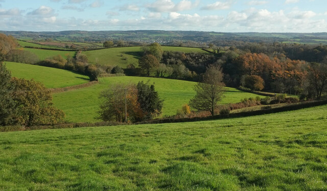
Image: © Derek Harper Taken: 21 Nov 2021
Looking right from Image The nearest hedge is along Trough Lane. The wood in the valley is near Lower Combe. The distant settlement in the centre is Chudleigh.
Images are licensed for reuse under creativecommons.org/licenses/by-sa/2.0
Image Location
Latitude
50.600639
Longitude
-3.662931