Paths below Gilstead Moor Edge
Introduction
The photograph on this page of Paths below Gilstead Moor Edge by Stephen Craven as part of the Geograph project.
The Geograph project started in 2005 with the aim of publishing, organising and preserving representative images for every square kilometre of Great Britain, Ireland and the Isle of Man.

There are currently over 7.5m images from over 14,400 individuals and you can help contribute to the project by visiting https://www.geograph.org.uk
Paths below Gilstead Moor Edge
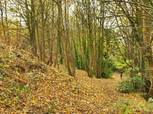
Image: © Stephen Craven Taken: 16 Nov 2021
Like a lot of the gritstone escarpments of West Yorkshire, this one has been quarried in the past, leaving a naturally evolved woodland on a hillside too steep for building use.
Images are licensed for reuse under creativecommons.org/licenses/by-sa/2.0
Image Location
Latitude
53.854753
Longitude
-1.825745