Sea view from the Wales Coast Path
Introduction
The photograph on this page of Sea view from the Wales Coast Path by Eirian Evans as part of the Geograph project.
The Geograph project started in 2005 with the aim of publishing, organising and preserving representative images for every square kilometre of Great Britain, Ireland and the Isle of Man.

There are currently over 7.5m images from over 14,400 individuals and you can help contribute to the project by visiting https://www.geograph.org.uk
Sea view from the Wales Coast Path
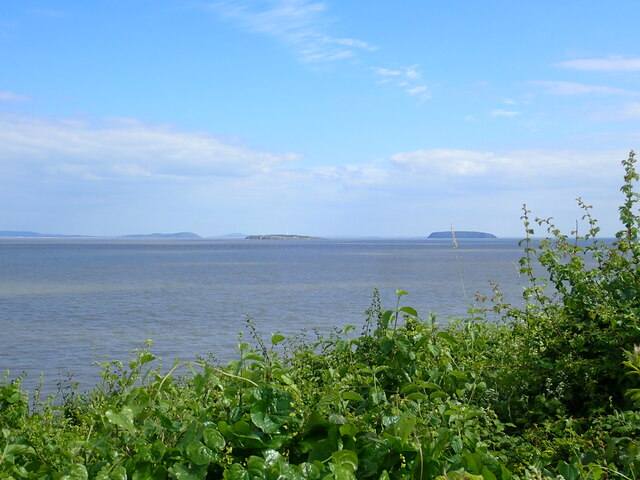
Image: © Eirian Evans Taken: 22 Jun 2021
For most of the Coast Path between Lower Penarth and Lavernock Point, you walk along a cliff with your view of the sea obscured by a hedge. Occasionally you get a glimpse of the Bristol Channel, as here. The two islands in view are Flat Holm with its lighthouse - this belongs to Wales. The other is Steep Holm, belonging to England.
Images are licensed for reuse under creativecommons.org/licenses/by-sa/2.0
Image Location
Latitude
51.424137
Longitude
-3.17155