Moor Street
Introduction
The photograph on this page of Moor Street by Ian Capper as part of the Geograph project.
The Geograph project started in 2005 with the aim of publishing, organising and preserving representative images for every square kilometre of Great Britain, Ireland and the Isle of Man.

There are currently over 7.5m images from over 14,400 individuals and you can help contribute to the project by visiting https://www.geograph.org.uk
Moor Street
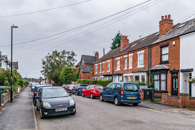
Image: © Ian Capper Taken: 25 Sep 2021
Housing at the north end of Moor Street, with this section first shown with development on the 1906 25 inch map. The house in the background was named Moor Cottage on that map.
Images are licensed for reuse under creativecommons.org/licenses/by-sa/2.0
Image Location
Latitude
52.40067
Longitude
-1.533906