High Street leading east out of Longnor
Introduction
The photograph on this page of High Street leading east out of Longnor by Tim Heaton as part of the Geograph project.
The Geograph project started in 2005 with the aim of publishing, organising and preserving representative images for every square kilometre of Great Britain, Ireland and the Isle of Man.

There are currently over 7.5m images from over 14,400 individuals and you can help contribute to the project by visiting https://www.geograph.org.uk
High Street leading east out of Longnor
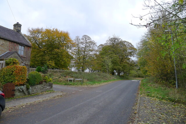
Image: © Tim Heaton Taken: 3 Nov 2021
Longnor sits on a prominent ridge between the valleys of the River Manifold and the River Dove. The lane to the left, Dove Ridge, leads to Top o' th' Edge, an escarpment overlooking the Dove valley.
Images are licensed for reuse under creativecommons.org/licenses/by-sa/2.0
Image Location
Latitude
53.181393
Longitude
-1.864842