Path and power lines near Tanfield Lea
Introduction
The photograph on this page of Path and power lines near Tanfield Lea by Trevor Littlewood as part of the Geograph project.
The Geograph project started in 2005 with the aim of publishing, organising and preserving representative images for every square kilometre of Great Britain, Ireland and the Isle of Man.

There are currently over 7.5m images from over 14,400 individuals and you can help contribute to the project by visiting https://www.geograph.org.uk
Path and power lines near Tanfield Lea
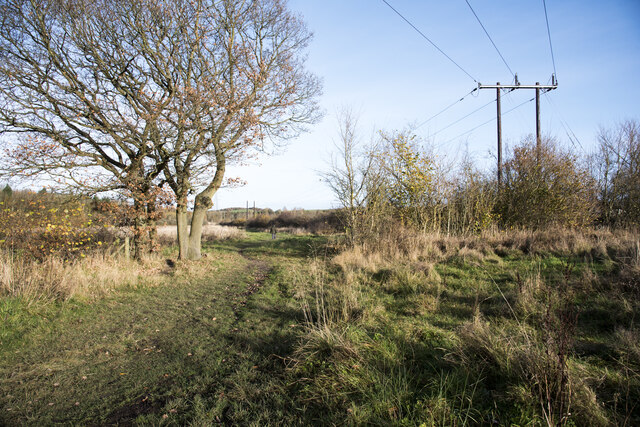
Image: © Trevor Littlewood Taken: 25 Nov 2021
The path and pylons are crossing ground with scrubby vegetation and scattered trees between two industrial estates at the small County Durham village, Tanfield Lea.
Images are licensed for reuse under creativecommons.org/licenses/by-sa/2.0
Image Location
Latitude
54.881018
Longitude
-1.700871