Hiltingbury Lake, from the dam
Introduction
The photograph on this page of Hiltingbury Lake, from the dam by Christine Johnstone as part of the Geograph project.
The Geograph project started in 2005 with the aim of publishing, organising and preserving representative images for every square kilometre of Great Britain, Ireland and the Isle of Man.

There are currently over 7.5m images from over 14,400 individuals and you can help contribute to the project by visiting https://www.geograph.org.uk
Hiltingbury Lake, from the dam
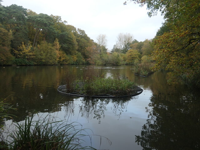
Image: © Christine Johnstone Taken: 8 Nov 2021
The lake is shown on the large-scale OS map surveyed in 1895, but not on the one surveyed in 1867. It is now a fishing lake, surrounded by pleasant woodland paths.
Images are licensed for reuse under creativecommons.org/licenses/by-sa/2.0
Image Location
Latitude
50.994274
Longitude
-1.373132