Tregirls Farm
Introduction
The photograph on this page of Tregirls Farm by Derek Harper as part of the Geograph project.
The Geograph project started in 2005 with the aim of publishing, organising and preserving representative images for every square kilometre of Great Britain, Ireland and the Isle of Man.

There are currently over 7.5m images from over 14,400 individuals and you can help contribute to the project by visiting https://www.geograph.org.uk
Tregirls Farm
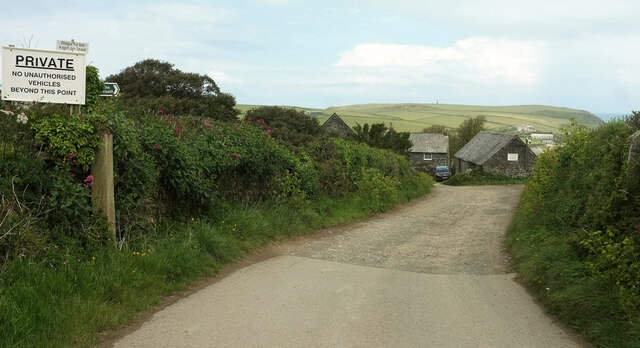
Image: © Derek Harper Taken: 17 May 2021
The public access route ends here, and a footpath, 532 16/1, takes over past the farm down to Harbour Cove.
Images are licensed for reuse under creativecommons.org/licenses/by-sa/2.0
Image Location


Leaflet Map data © OpenStreetMap
Latitude
50.549707
Longitude
-4.949017