The Butts path
Introduction
The photograph on this page of The Butts path by Richard Law as part of the Geograph project.
The Geograph project started in 2005 with the aim of publishing, organising and preserving representative images for every square kilometre of Great Britain, Ireland and the Isle of Man.

There are currently over 7.5m images from over 14,400 individuals and you can help contribute to the project by visiting https://www.geograph.org.uk
The Butts path
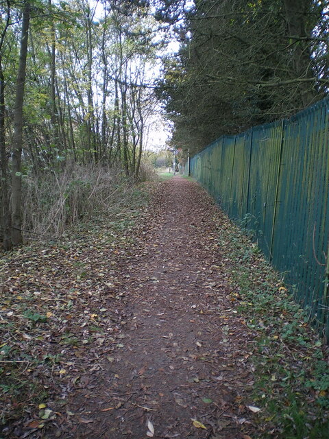
Image: © Richard Law Taken: 24 Nov 2021
Marked on older maps as Lawton Lane, at which time it ran across open fields between Lamledge Lane at the eastern end and the Smithfield cattle market area on the western outskirts of Shifnal. The fields are now all covered in housing.
Images are licensed for reuse under creativecommons.org/licenses/by-sa/2.0
Image Location
Latitude
52.665379
Longitude
-2.362666