Remembering Coalpit Heath's loss
Introduction
The photograph on this page of Remembering Coalpit Heath's loss by Neil Owen as part of the Geograph project.
The Geograph project started in 2005 with the aim of publishing, organising and preserving representative images for every square kilometre of Great Britain, Ireland and the Isle of Man.

There are currently over 7.5m images from over 14,400 individuals and you can help contribute to the project by visiting https://www.geograph.org.uk
Remembering Coalpit Heath's loss
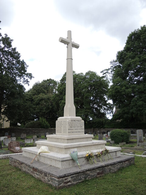
Image: © Neil Owen Taken: 9 Jul 2021
The war memorial stands in the grounds of St Saviour's church. It bears the names of sixteen parishioners of the Great War and eighteen of the Second conflict. Nearby is a QR code board that directs interested visitors to a website that gives more details.
Images are licensed for reuse under creativecommons.org/licenses/by-sa/2.0
Image Location
Latitude
51.524533
Longitude
-2.472152