Barn Mead
Introduction
The photograph on this page of Barn Mead by Simon Carey as part of the Geograph project.
The Geograph project started in 2005 with the aim of publishing, organising and preserving representative images for every square kilometre of Great Britain, Ireland and the Isle of Man.

There are currently over 7.5m images from over 14,400 individuals and you can help contribute to the project by visiting https://www.geograph.org.uk
Barn Mead
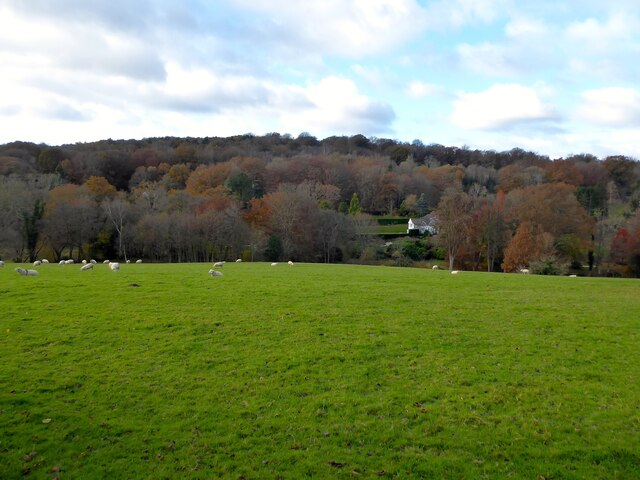
Image: © Simon Carey Taken: 21 Nov 2021
The name of the field according to Withyham's 1842 tithe map bounded by Friar's Gate Farm to the east and King's Standing Gill to the west. The house visible across the valley is Moorlands whilst Five Hundred Acre Wood crowns the hill.
Images are licensed for reuse under creativecommons.org/licenses/by-sa/2.0
Image Location
Latitude
51.075401
Longitude
0.13853