Sundaywell
Introduction
The photograph on this page of Sundaywell by Chris Newman as part of the Geograph project.
The Geograph project started in 2005 with the aim of publishing, organising and preserving representative images for every square kilometre of Great Britain, Ireland and the Isle of Man.

There are currently over 7.5m images from over 14,400 individuals and you can help contribute to the project by visiting https://www.geograph.org.uk
Sundaywell
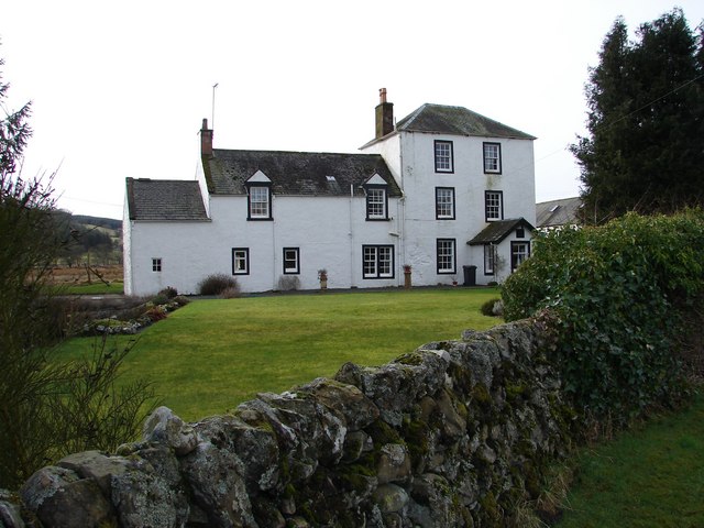
Image: © Chris Newman Taken: 24 Feb 2008
Sundaywell Tower dates from 1651, it was converted to form part of farmhouse in late C18. There are a number of archaeological sites in the surrounding area.
Images are licensed for reuse under creativecommons.org/licenses/by-sa/2.0
Image Location
Latitude
55.139644
Longitude
-3.866181