East along The Butts path
Introduction
The photograph on this page of East along The Butts path by Richard Law as part of the Geograph project.
The Geograph project started in 2005 with the aim of publishing, organising and preserving representative images for every square kilometre of Great Britain, Ireland and the Isle of Man.

There are currently over 7.5m images from over 14,400 individuals and you can help contribute to the project by visiting https://www.geograph.org.uk
East along The Butts path
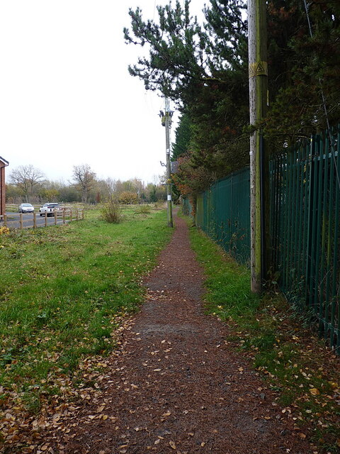
Image: © Richard Law Taken: 23 Nov 2021
Looking out of Shifnal along The Butts (formerly Lawton Lane) towards its junction with Lamledge Lane in the bushes about 100 yards away.
Images are licensed for reuse under creativecommons.org/licenses/by-sa/2.0
Image Location
Latitude
52.665291
Longitude
-2.361926