The Butts, Shifnal
Introduction
The photograph on this page of The Butts, Shifnal by Richard Law as part of the Geograph project.
The Geograph project started in 2005 with the aim of publishing, organising and preserving representative images for every square kilometre of Great Britain, Ireland and the Isle of Man.

There are currently over 7.5m images from over 14,400 individuals and you can help contribute to the project by visiting https://www.geograph.org.uk
The Butts, Shifnal
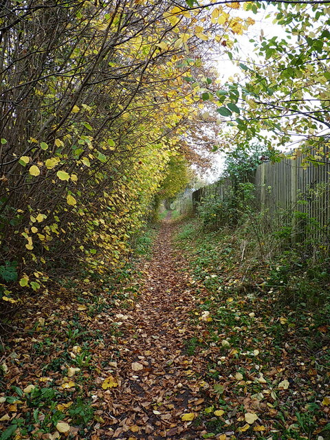
Image: © Richard Law Taken: 23 Nov 2021
A footpath that runs behind new housing (on the left) and the industrial estate (behind the steel fencing); on the 1:2500 map of 1901 it's marked as Lawton Road, and appears to be a narrow country lane or path connecting the Smithfield cattle market area to Lamledge Lane near the railway bridge.
Images are licensed for reuse under creativecommons.org/licenses/by-sa/2.0
Image Location
Latitude
52.666271
Longitude
-2.364892