Loch Foot Burn Bridge
Introduction
The photograph on this page of Loch Foot Burn Bridge by Chris Newman as part of the Geograph project.
The Geograph project started in 2005 with the aim of publishing, organising and preserving representative images for every square kilometre of Great Britain, Ireland and the Isle of Man.

There are currently over 7.5m images from over 14,400 individuals and you can help contribute to the project by visiting https://www.geograph.org.uk
Loch Foot Burn Bridge
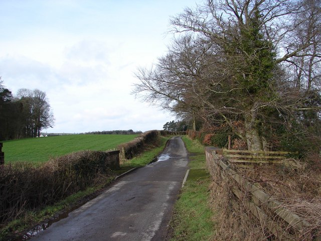
Image: © Chris Newman Taken: 24 Feb 2008
The Abbey-Killylung X-Rds lane crosses the small Loch Foot Burn Bridge. East Crossleys Farm is just visible (mid left) on the adjacent lane.
Images are licensed for reuse under creativecommons.org/licenses/by-sa/2.0
Image Location
Latitude
55.108361
Longitude
-3.641951