Templer Way near Pottery Pond
Introduction
The photograph on this page of Templer Way near Pottery Pond by Derek Harper as part of the Geograph project.
The Geograph project started in 2005 with the aim of publishing, organising and preserving representative images for every square kilometre of Great Britain, Ireland and the Isle of Man.

There are currently over 7.5m images from over 14,400 individuals and you can help contribute to the project by visiting https://www.geograph.org.uk
Templer Way near Pottery Pond
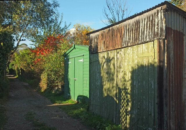
Image: © Derek Harper Taken: 14 Nov 2021
A contrast in outbuildings as the Way (the line of the Haytor Granite Tramway) follows Bovey Tracey Bridleway 35. The marker stone lying at an angle just past the green shed may be a remnant of the tramway.
Images are licensed for reuse under creativecommons.org/licenses/by-sa/2.0
Image Location
Latitude
50.582578
Longitude
-3.680658