Field for cattle at Carver Fold
Introduction
The photograph on this page of Field for cattle at Carver Fold by Bill Boaden as part of the Geograph project.
The Geograph project started in 2005 with the aim of publishing, organising and preserving representative images for every square kilometre of Great Britain, Ireland and the Isle of Man.

There are currently over 7.5m images from over 14,400 individuals and you can help contribute to the project by visiting https://www.geograph.org.uk
Field for cattle at Carver Fold
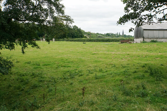
Image: © Bill Boaden Taken: 30 Aug 2021
Further away, you can see the spire of All Saints Church, Higher Walton.
Images are licensed for reuse under creativecommons.org/licenses/by-sa/2.0
Image Location
Latitude
53.745738
Longitude
-2.627712