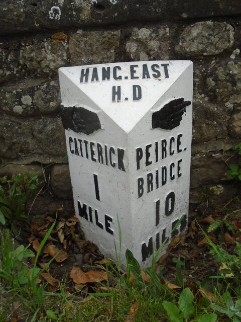
Old milepost
Introduction
The photograph on this page of Old milepost by Chris Minto as part of the Geograph project.
The Geograph project started in 2005 with the aim of publishing, organising and preserving representative images for every square kilometre of Great Britain, Ireland and the Isle of Man.
There are currently over 7.5m images from over 14,400 individuals and you can help contribute to the project by visiting https://www.geograph.org.uk

Image: © Chris Minto Taken: 14 Oct 2021
This milepost, just north of the River Swale bridge was dug out and repainted by Hilary Jones. It is one of the first generation of castings by Mattison's of Bedale made for the Highway Districts which set up posts before the County Councils. The hands were cast pointing the wrong way. New hands were fastened over the old ones or they were just painted indicating correctly. The hand to Piercebridge, current spelling, should point to the left. There is part of a broken replacement hand on the Catterick face. This is the only known survivor on this route with Piercebridge in Co. Durham just over the border which is the River Tees.

