Tracks on Moel Unben
Introduction
The photograph on this page of Tracks on Moel Unben by Andy Waddington as part of the Geograph project.
The Geograph project started in 2005 with the aim of publishing, organising and preserving representative images for every square kilometre of Great Britain, Ireland and the Isle of Man.

There are currently over 7.5m images from over 14,400 individuals and you can help contribute to the project by visiting https://www.geograph.org.uk
Tracks on Moel Unben
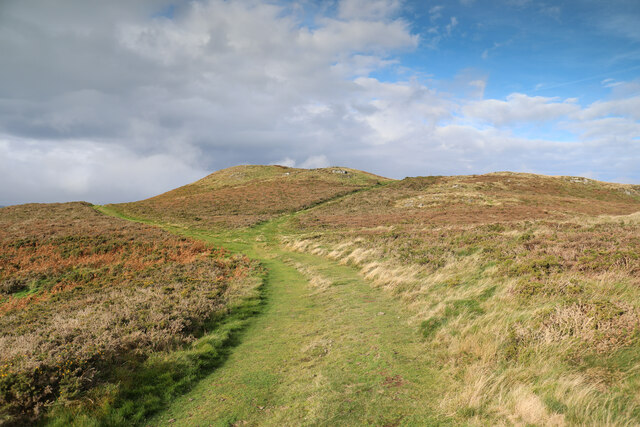
Image: © Andy Waddington Taken: 9 Nov 2021
The heather moorland on top of Moel Unben (and extending a kilometre to its NNE) is not blessed with any public rights of way, but has a considerable network of tracks on which we all have a right to roam as the area is CROW Access Land. Although it is quite clear that the tracks are used by agricultural vehicles, signs a short distance from the public road remind visitors that there is no public access for vehicles and that at least part of the area is a Site of Special Scientific Interest.
Images are licensed for reuse under creativecommons.org/licenses/by-sa/2.0
Image Location
Latitude
53.195805
Longitude
-3.632902