Former stables immediately to the northwest of Stirchley Hall farmhouse
Introduction
The photograph on this page of Former stables immediately to the northwest of Stirchley Hall farmhouse by Richard Law as part of the Geograph project.
The Geograph project started in 2005 with the aim of publishing, organising and preserving representative images for every square kilometre of Great Britain, Ireland and the Isle of Man.

There are currently over 7.5m images from over 14,400 individuals and you can help contribute to the project by visiting https://www.geograph.org.uk
Former stables immediately to the northwest of Stirchley Hall farmhouse
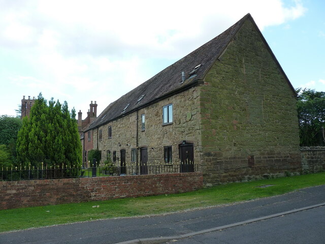
Image: © Richard Law Taken: 16 Jun 2021
A range of rubble-built stables immediately to the NW of the main former farmhouse Image; the barn dates from late 18th or early 19th century and was Grade II listed https://britishlistedbuildings.co.uk/101033304-stables-immediately-north-west-of-stirchley-hall-farmhouse-stirchley-and-brookside#.YZKZE2DP3IU & https://historicengland.org.uk/listing/the-list/list-entry/1033304 in 1983.
Images are licensed for reuse under creativecommons.org/licenses/by-sa/2.0
Image Location
Latitude
52.656441
Longitude
-2.447301