Former stables immediately to the north of Stirchley Hall farmhouse
Introduction
The photograph on this page of Former stables immediately to the north of Stirchley Hall farmhouse by Richard Law as part of the Geograph project.
The Geograph project started in 2005 with the aim of publishing, organising and preserving representative images for every square kilometre of Great Britain, Ireland and the Isle of Man.

There are currently over 7.5m images from over 14,400 individuals and you can help contribute to the project by visiting https://www.geograph.org.uk
Former stables immediately to the north of Stirchley Hall farmhouse
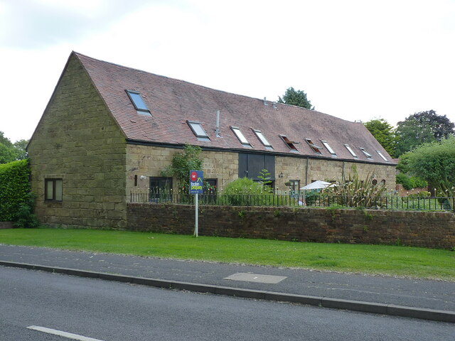
Image: © Richard Law Taken: 16 Jun 2021
Now converted to a number of dwellings, this former four-stable row dates from the 18th century, and was Grade II listed https://britishlistedbuildings.co.uk/101352003-stables-immediately-to-north-of-stirchley-hall-farmhouse-stirchley-and-brookside#.YZF2b2DP3IU & https://historicengland.org.uk/listing/the-list/list-entry/1352003 in 1983. it was originally part of the agricultural buildings in the yard of Image
Images are licensed for reuse under creativecommons.org/licenses/by-sa/2.0
Image Location
Latitude
52.65664
Longitude
-2.447155