Roebuck Gate unmanned level crossing
Introduction
The photograph on this page of Roebuck Gate unmanned level crossing by diana lawer as part of the Geograph project.
The Geograph project started in 2005 with the aim of publishing, organising and preserving representative images for every square kilometre of Great Britain, Ireland and the Isle of Man.

There are currently over 7.5m images from over 14,400 individuals and you can help contribute to the project by visiting https://www.geograph.org.uk
Roebuck Gate unmanned level crossing
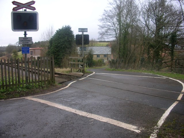
Image: © diana lawer Taken: 22 Feb 2008
Roebuck Gate unmanned level crossing, looking down Roebuck Lane towards Roebuck Gate farmhouse
Images are licensed for reuse under creativecommons.org/licenses/by-sa/2.0
Image Location


Leaflet Map data © OpenStreetMap
Latitude
51.110502
Longitude
-3.239884