Path through Zionshill Copse
Introduction
The photograph on this page of Path through Zionshill Copse by Christine Johnstone as part of the Geograph project.
The Geograph project started in 2005 with the aim of publishing, organising and preserving representative images for every square kilometre of Great Britain, Ireland and the Isle of Man.

There are currently over 7.5m images from over 14,400 individuals and you can help contribute to the project by visiting https://www.geograph.org.uk
Path through Zionshill Copse
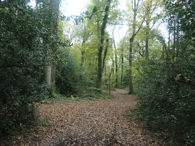
Image: © Christine Johnstone Taken: 8 Nov 2021
The copse is part of Valley Park local nature reserve, on the western edge of Chandler's Ford.
Images are licensed for reuse under creativecommons.org/licenses/by-sa/2.0
Image Location
Latitude
50.982211
Longitude
-1.40492