Crusaders Way, Chandler's Ford
Introduction
The photograph on this page of Crusaders Way, Chandler's Ford by Christine Johnstone as part of the Geograph project.
The Geograph project started in 2005 with the aim of publishing, organising and preserving representative images for every square kilometre of Great Britain, Ireland and the Isle of Man.

There are currently over 7.5m images from over 14,400 individuals and you can help contribute to the project by visiting https://www.geograph.org.uk
Crusaders Way, Chandler's Ford
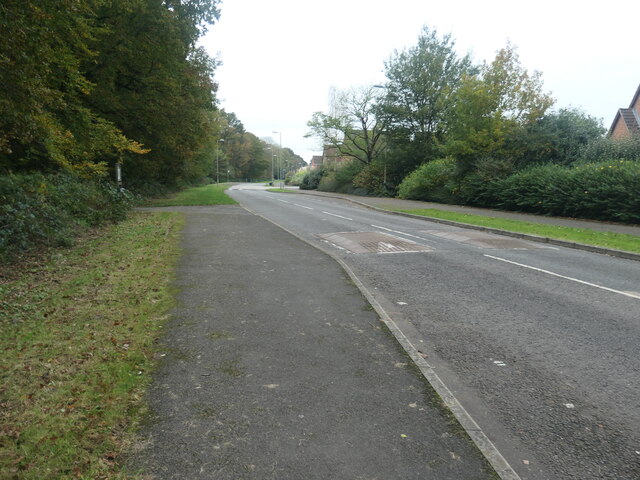
Image: © Christine Johnstone Taken: 8 Nov 2021
With Zionshill Copse on the left / south side and a 1990s housing estate on the right / north side.
Images are licensed for reuse under creativecommons.org/licenses/by-sa/2.0
Image Location
Latitude
50.983916
Longitude
-1.404328