Geopark Way in Eastnor Park
Introduction
The photograph on this page of Geopark Way in Eastnor Park by Des Blenkinsopp as part of the Geograph project.
The Geograph project started in 2005 with the aim of publishing, organising and preserving representative images for every square kilometre of Great Britain, Ireland and the Isle of Man.

There are currently over 7.5m images from over 14,400 individuals and you can help contribute to the project by visiting https://www.geograph.org.uk
Geopark Way in Eastnor Park
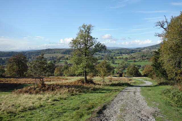
Image: © Des Blenkinsopp Taken: 2 Nov 2021
The Geopark Way is a 175 km long distance path between Bridgnorth and Gloucester designed to visit places of geological interest on route. http://geopark.org.uk/pub/category/explore/the-geopark-way/ A couple of kilometres are in the country estate belonging to Eastnor Castle.
Images are licensed for reuse under creativecommons.org/licenses/by-sa/2.0
Image Location
Latitude
52.038815
Longitude
-2.374482