Sky Blue Point
Introduction
The photograph on this page of Sky Blue Point by Ian Capper as part of the Geograph project.
The Geograph project started in 2005 with the aim of publishing, organising and preserving representative images for every square kilometre of Great Britain, Ireland and the Isle of Man.

There are currently over 7.5m images from over 14,400 individuals and you can help contribute to the project by visiting https://www.geograph.org.uk
Sky Blue Point
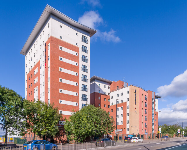
Image: © Ian Capper Taken: 24 Sep 2021
Student accommodation overlooking Sky Blue Way, built in around 2005. Originally called Trinity Point, it was later renamed Liberty Point and then its current name, Sly Blue Point.
Images are licensed for reuse under creativecommons.org/licenses/by-sa/2.0
Image Location
Latitude
52.408321
Longitude
-1.496707