Victoria Street
Introduction
The photograph on this page of Victoria Street by Ian Capper as part of the Geograph project.
The Geograph project started in 2005 with the aim of publishing, organising and preserving representative images for every square kilometre of Great Britain, Ireland and the Isle of Man.

There are currently over 7.5m images from over 14,400 individuals and you can help contribute to the project by visiting https://www.geograph.org.uk
Victoria Street
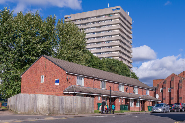
Image: © Ian Capper Taken: 24 Sep 2021
Late 1990s redevelopment in Victoria Street. In the background is Pioneer House, a 17 storey block of flats completed in 1966.
Images are licensed for reuse under creativecommons.org/licenses/by-sa/2.0
Image Location
Latitude
52.413411
Longitude
-1.501442