
Black Burn Reorienting to its Original Route
Introduction
The photograph on this page of Black Burn Reorienting to its Original Route by Ian Dodds as part of the Geograph project.
The Geograph project started in 2005 with the aim of publishing, organising and preserving representative images for every square kilometre of Great Britain, Ireland and the Isle of Man.

There are currently over 7.5m images from over 14,400 individuals and you can help contribute to the project by visiting https://www.geograph.org.uk
Black Burn Reorienting to its Original Route
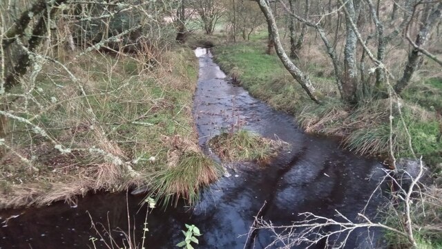
Image: © Ian Dodds Taken: 9 Nov 2021
The appropriately named Black Burn used to have a simple life, flowing unimpeded from near Harburnhead Hill to Camilty Water, which is about half a mile from here. These days though it has to make its way through six ponds - all created at some point since the early 1960s - on its route. Four of these, which I have yet to investigate, look like something that Salvador Dali might have drawn, from their shapes on the map. The water straight ahead is running from the last and largest of these new ponds. It then turns at right angles to get back onto its original course.
Images are licensed for reuse under creativecommons.org/licenses/by-sa/2.0
Image Location

Latitude
55.832921
Longitude
-3.504864