Hearsall Common
Introduction
The photograph on this page of Hearsall Common by Stephen McKay as part of the Geograph project.
The Geograph project started in 2005 with the aim of publishing, organising and preserving representative images for every square kilometre of Great Britain, Ireland and the Isle of Man.

There are currently over 7.5m images from over 14,400 individuals and you can help contribute to the project by visiting https://www.geograph.org.uk
Hearsall Common
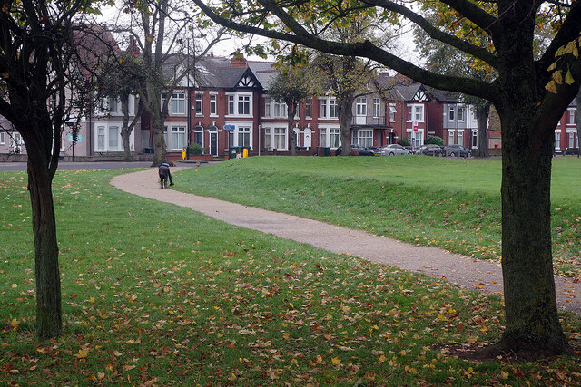
Image: © Stephen McKay Taken: 5 Nov 2021
Although Hearsall Common can trace its origins as common land back to the 13th century, it was reassigned as recreation ground in 1927. It is now a significant open space to the west of Coventry city centre. This view shows one corner of the common looking towards Earlsdon Avenue.
Images are licensed for reuse under creativecommons.org/licenses/by-sa/2.0
Image Location
Latitude
52.404225
Longitude
-1.534883