Houses ready for demolition, Hafod-yr-Ynys Road
Introduction
The photograph on this page of Houses ready for demolition, Hafod-yr-Ynys Road by M J Roscoe as part of the Geograph project.
The Geograph project started in 2005 with the aim of publishing, organising and preserving representative images for every square kilometre of Great Britain, Ireland and the Isle of Man.

There are currently over 7.5m images from over 14,400 individuals and you can help contribute to the project by visiting https://www.geograph.org.uk
Houses ready for demolition, Hafod-yr-Ynys Road
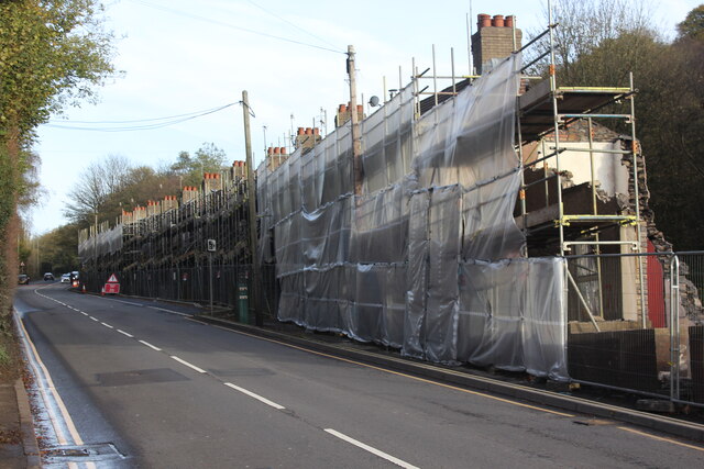
Image: © M J Roscoe Taken: 7 Nov 2021
Row of terraced houses due to be demolished because of the high concentration of nitrogen dioxide in the air in the 'street canyon' in the valley. The green cabinet next to the telegraph pole houses the monitor of air pollutants.
Images are licensed for reuse under creativecommons.org/licenses/by-sa/2.0
Image Location
Latitude
51.680503
Longitude
-3.133897