The B5017
Introduction
The photograph on this page of The B5017 by Malcolm Neal as part of the Geograph project.
The Geograph project started in 2005 with the aim of publishing, organising and preserving representative images for every square kilometre of Great Britain, Ireland and the Isle of Man.

There are currently over 7.5m images from over 14,400 individuals and you can help contribute to the project by visiting https://www.geograph.org.uk
The B5017
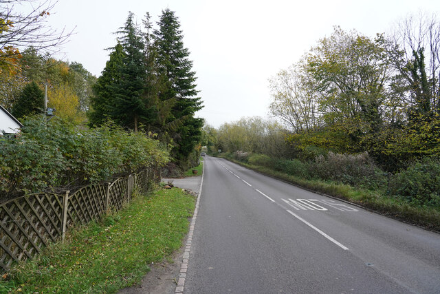
Image: © Malcolm Neal Taken: 8 Nov 2021
This is a rather wider road than many of the lanes I have travelled this morning.
Images are licensed for reuse under creativecommons.org/licenses/by-sa/2.0
Image Location
Latitude
52.872938
Longitude
-1.83475