Woodberry Down Estate
Introduction
The photograph on this page of Woodberry Down Estate by Marathon as part of the Geograph project.
The Geograph project started in 2005 with the aim of publishing, organising and preserving representative images for every square kilometre of Great Britain, Ireland and the Isle of Man.

There are currently over 7.5m images from over 14,400 individuals and you can help contribute to the project by visiting https://www.geograph.org.uk
Woodberry Down Estate
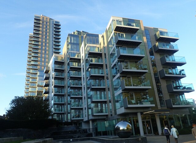
Image: © Marathon Taken: 1 Nov 2021
The Woodberry Down Estate has been developed since 2009 on the site of a former Council estate. This photograph is near the entrance to the Woodberry Wetlands Nature Reserve.
Images are licensed for reuse under creativecommons.org/licenses/by-sa/2.0
Image Location
Latitude
51.571246
Longitude
-0.088795