Houses at Llanidloes
Introduction
The photograph on this page of Houses at Llanidloes by Fabian Musto as part of the Geograph project.
The Geograph project started in 2005 with the aim of publishing, organising and preserving representative images for every square kilometre of Great Britain, Ireland and the Isle of Man.

There are currently over 7.5m images from over 14,400 individuals and you can help contribute to the project by visiting https://www.geograph.org.uk
Houses at Llanidloes
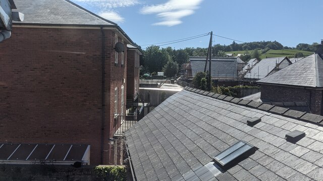
Image: © Fabian Musto Taken: 5 Jun 2021
The brick building to the left was built in the 18th or 19th century, and has an identical look to the former railway station. It is situated south at the end of the Google Maps view of Cemetery Square, and I found out it does not have listed status.
Images are licensed for reuse under creativecommons.org/licenses/by-sa/2.0
Image Location
Latitude
52.447274
Longitude
-3.538267