No. 40-42 High Street (Llanidloes)
Introduction
The photograph on this page of No. 40-42 High Street (Llanidloes) by Fabian Musto as part of the Geograph project.
The Geograph project started in 2005 with the aim of publishing, organising and preserving representative images for every square kilometre of Great Britain, Ireland and the Isle of Man.

There are currently over 7.5m images from over 14,400 individuals and you can help contribute to the project by visiting https://www.geograph.org.uk
No. 40-42 High Street (Llanidloes)
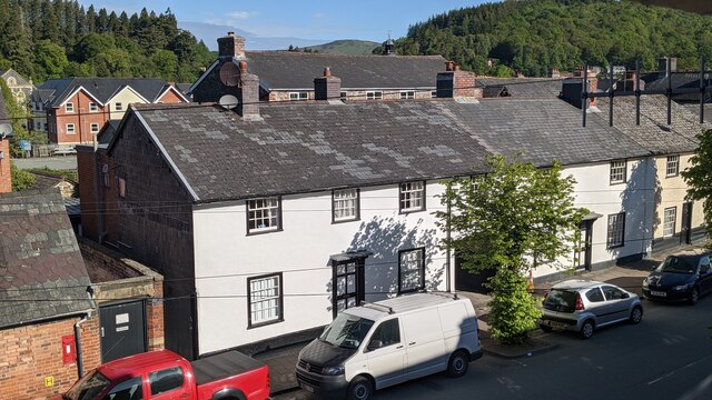
Image: © Fabian Musto Taken: 5 Jun 2021
Built as a group of single-storey cottages around 1646, they were enlarged in the mid 18th century and were refronted around 1800. These were grade II listed in April 1989.
Images are licensed for reuse under creativecommons.org/licenses/by-sa/2.0
Image Location
Latitude
52.447362
Longitude
-3.538417