Whitelodge, Whydown
Introduction
The photograph on this page of Whitelodge, Whydown by Simon Carey as part of the Geograph project.
The Geograph project started in 2005 with the aim of publishing, organising and preserving representative images for every square kilometre of Great Britain, Ireland and the Isle of Man.

There are currently over 7.5m images from over 14,400 individuals and you can help contribute to the project by visiting https://www.geograph.org.uk
Whitelodge, Whydown
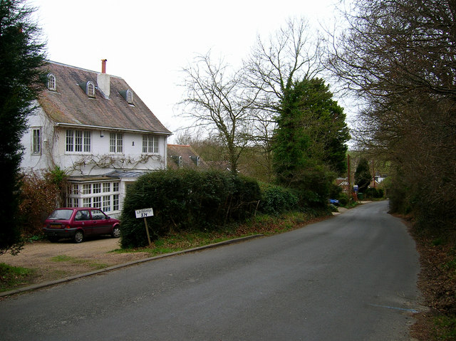
Image: © Simon Carey Taken: 22 Feb 2008
House in the small hamlet of Whydown that straggles along the minor road from Bexhill to Hooe.
Images are licensed for reuse under creativecommons.org/licenses/by-sa/2.0
Image Location
Latitude
50.860009
Longitude
0.423524