The village of Pendock
Introduction
The photograph on this page of The village of Pendock by Fabian Musto as part of the Geograph project.
The Geograph project started in 2005 with the aim of publishing, organising and preserving representative images for every square kilometre of Great Britain, Ireland and the Isle of Man.

There are currently over 7.5m images from over 14,400 individuals and you can help contribute to the project by visiting https://www.geograph.org.uk
The village of Pendock
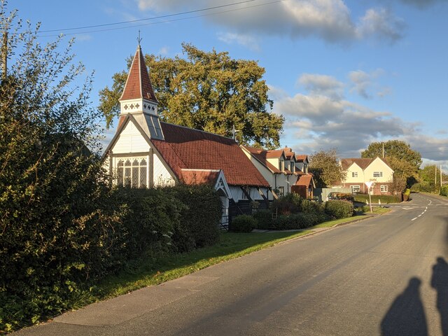
Image: © Fabian Musto Taken: 4 Nov 2021
Here is the village of Pendock with crossroads seen in the distance, and the B4208 road passes through the village. The Church of the Redeemer is seen closest to the camera.
Images are licensed for reuse under creativecommons.org/licenses/by-sa/2.0
Image Location
Latitude
51.992954
Longitude
-2.316135