Houses between Stone Drive and Drabble Close
Introduction
The photograph on this page of Houses between Stone Drive and Drabble Close by Richard Law as part of the Geograph project.
The Geograph project started in 2005 with the aim of publishing, organising and preserving representative images for every square kilometre of Great Britain, Ireland and the Isle of Man.

There are currently over 7.5m images from over 14,400 individuals and you can help contribute to the project by visiting https://www.geograph.org.uk
Houses between Stone Drive and Drabble Close
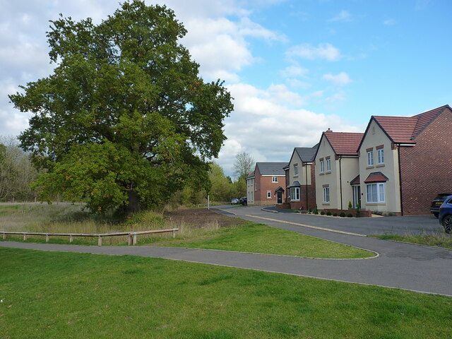
Image: © Richard Law Taken: 3 Nov 2021
These houses have the railway line on an embankment just beyond them, but they do look out onto an old oak tree and a reasonable open grassy area.
Images are licensed for reuse under creativecommons.org/licenses/by-sa/2.0
Image Location
Latitude
52.664384
Longitude
-2.36458