Development Opportunity, apparently
Introduction
The photograph on this page of Development Opportunity, apparently by Richard Law as part of the Geograph project.
The Geograph project started in 2005 with the aim of publishing, organising and preserving representative images for every square kilometre of Great Britain, Ireland and the Isle of Man.

There are currently over 7.5m images from over 14,400 individuals and you can help contribute to the project by visiting https://www.geograph.org.uk
Development Opportunity, apparently
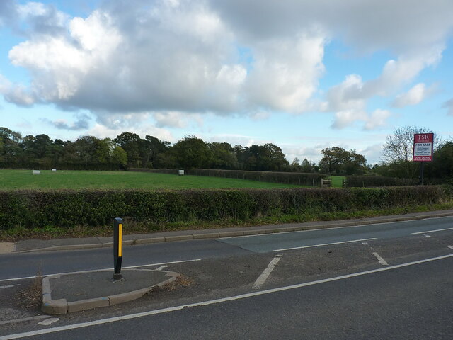
Image: © Richard Law Taken: 3 Nov 2021
Judging by the large sign on the other side of the road, this field will be the site of the next phase of housing expansion on the SE flank of Shifnal. Revells Rough is the copse of woodland in the distance, which appears on the maps of 1882.
Images are licensed for reuse under creativecommons.org/licenses/by-sa/2.0
Image Location
Latitude
52.658982
Longitude
-2.367196