Burnbank
Introduction
The photograph on this page of Burnbank by Anne Burgess as part of the Geograph project.
The Geograph project started in 2005 with the aim of publishing, organising and preserving representative images for every square kilometre of Great Britain, Ireland and the Isle of Man.

There are currently over 7.5m images from over 14,400 individuals and you can help contribute to the project by visiting https://www.geograph.org.uk
Burnbank
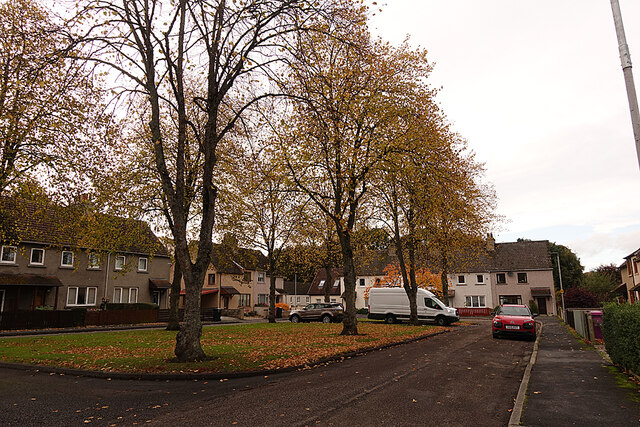
Image: © Anne Burgess Taken: 27 Oct 2021
Burnbank is a self-contained housing development in a cul-de-sac round a patch of grass with trees, giving it a more open feel than some such.
Images are licensed for reuse under creativecommons.org/licenses/by-sa/2.0
Image Location


Leaflet Map data © OpenStreetMap
Latitude
57.61437
Longitude
-3.102198