Royal Kent Instituted Dispensary
Introduction
The photograph on this page of Royal Kent Instituted Dispensary by Hugh Venables as part of the Geograph project.
The Geograph project started in 2005 with the aim of publishing, organising and preserving representative images for every square kilometre of Great Britain, Ireland and the Isle of Man.

There are currently over 7.5m images from over 14,400 individuals and you can help contribute to the project by visiting https://www.geograph.org.uk
Royal Kent Instituted Dispensary
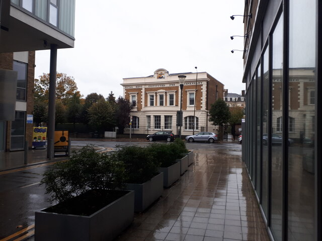
Image: © Hugh Venables Taken: 31 Oct 2021
Grade II listed building, see https://historicengland.org.uk/listing/the-list/list-entry/1078995 and Image
Images are licensed for reuse under creativecommons.org/licenses/by-sa/2.0
Image Location
Latitude
51.475568
Longitude
-0.019068