Woodview Farmhouse and Farnley House, Netherton, Farnley Tyas
Introduction
The photograph on this page of Woodview Farmhouse and Farnley House, Netherton, Farnley Tyas by Humphrey Bolton as part of the Geograph project.
The Geograph project started in 2005 with the aim of publishing, organising and preserving representative images for every square kilometre of Great Britain, Ireland and the Isle of Man.

There are currently over 7.5m images from over 14,400 individuals and you can help contribute to the project by visiting https://www.geograph.org.uk
Woodview Farmhouse and Farnley House, Netherton, Farnley Tyas
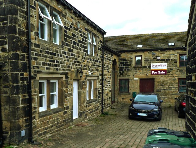
Image: © Humphrey Bolton Taken: 28 Oct 2021
This is a revisit to the first geograph of the square: Image], taken in October 2005. The building on the right is part of what is captioned 'Farnley House' on the large-scale map on the Historic England map search site, and is currently for sale. Quoting from Bramley's website "The property has historically been used as the Farnley Estate office and has recently been granted planning consent for conversion into a single residential dwelling."
Images are licensed for reuse under creativecommons.org/licenses/by-sa/2.0
Image Location
Latitude
53.611653
Longitude
-1.741498