Flash flood in Petersfield: the aftermath
Introduction
The photograph on this page of Flash flood in Petersfield: the aftermath by Basher Eyre as part of the Geograph project.
The Geograph project started in 2005 with the aim of publishing, organising and preserving representative images for every square kilometre of Great Britain, Ireland and the Isle of Man.

There are currently over 7.5m images from over 14,400 individuals and you can help contribute to the project by visiting https://www.geograph.org.uk
Flash flood in Petersfield: the aftermath
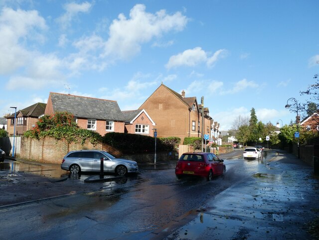
Image: © Basher Eyre Taken: 31 Oct 2021
The weather today has been like most of October 2021, incredibly mild but interspersed with torrential downpours https://www.metoffice.gov.uk/binaries/content/assets/metofficegovuk/pdf/weather/learn-about/uk-past-events/summaries/uk_monthly_climate_summary_202110a.pdf
Images are licensed for reuse under creativecommons.org/licenses/by-sa/2.0
Image Location


Leaflet Map data © OpenStreetMap
Latitude
51.005122
Longitude
-0.934004