The Wheatsheaf
Introduction
The photograph on this page of The Wheatsheaf by Malcolm Neal as part of the Geograph project.
The Geograph project started in 2005 with the aim of publishing, organising and preserving representative images for every square kilometre of Great Britain, Ireland and the Isle of Man.

There are currently over 7.5m images from over 14,400 individuals and you can help contribute to the project by visiting https://www.geograph.org.uk
The Wheatsheaf
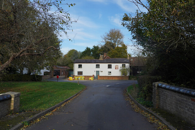
Image: © Malcolm Neal Taken: 30 Oct 2021
The former public house "The Wheatsheaf" is now a private residential property which may still be undergoing some renovation, judging from the builders materials in bags outside the house.
Images are licensed for reuse under creativecommons.org/licenses/by-sa/2.0
Image Location
Latitude
52.030765
Longitude
-0.780496