Fairway Close, Bourn
Introduction
The photograph on this page of Fairway Close, Bourn by Martin Tester as part of the Geograph project.
The Geograph project started in 2005 with the aim of publishing, organising and preserving representative images for every square kilometre of Great Britain, Ireland and the Isle of Man.

There are currently over 7.5m images from over 14,400 individuals and you can help contribute to the project by visiting https://www.geograph.org.uk
Fairway Close, Bourn
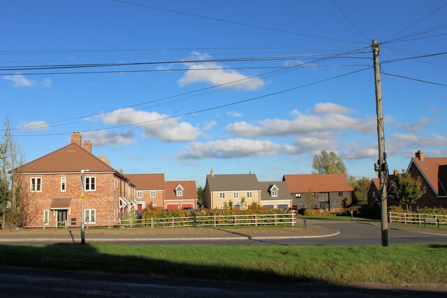
Image: © Martin Tester Taken: 28 Oct 2021
A housing development, completed c2018, built on the site of Gill's Hill Farm. Needless to say Bourn golf course is nearby.
Images are licensed for reuse under creativecommons.org/licenses/by-sa/2.0
Image Location
Latitude
52.187641
Longitude
-0.060571