Building in Adam Street
Introduction
The photograph on this page of Building in Adam Street by Brian Westlake as part of the Geograph project.
The Geograph project started in 2005 with the aim of publishing, organising and preserving representative images for every square kilometre of Great Britain, Ireland and the Isle of Man.

There are currently over 7.5m images from over 14,400 individuals and you can help contribute to the project by visiting https://www.geograph.org.uk
Building in Adam Street
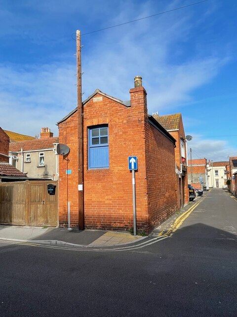
Image: © Brian Westlake Taken: 13 Oct 2021
By the one-way sign is a cut bench mark. See https://www.geograph.org.uk/photo/7004315 for a close-up and https://www.bench-marks.org.uk/bm91633 for details.
Images are licensed for reuse under creativecommons.org/licenses/by-sa/2.0
Image Location
Latitude
51.23566
Longitude
-2.997016