Disused Path at Tyntesfield
Introduction
The photograph on this page of Disused Path at Tyntesfield by Brian Westlake as part of the Geograph project.
The Geograph project started in 2005 with the aim of publishing, organising and preserving representative images for every square kilometre of Great Britain, Ireland and the Isle of Man.

There are currently over 7.5m images from over 14,400 individuals and you can help contribute to the project by visiting https://www.geograph.org.uk
Disused Path at Tyntesfield
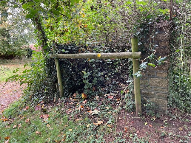
Image: © Brian Westlake Taken: 12 Oct 2021
A former walled path off the North Drive at Tyntesfield, now superseded by a public footpath on the north side. The end of the south (right) wall carries a cut bench mark. See https://www.geograph.org.uk/photo/7004050 for a close-up and https://www.bench-marks.org.uk/bm132254 for details.
Images are licensed for reuse under creativecommons.org/licenses/by-sa/2.0
Image Location
Latitude
51.445864
Longitude
-2.718548