Kirby Road
Introduction
The photograph on this page of Kirby Road by Ian Capper as part of the Geograph project.
The Geograph project started in 2005 with the aim of publishing, organising and preserving representative images for every square kilometre of Great Britain, Ireland and the Isle of Man.

There are currently over 7.5m images from over 14,400 individuals and you can help contribute to the project by visiting https://www.geograph.org.uk
Kirby Road
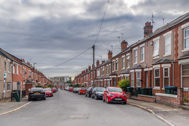
Image: © Ian Capper Taken: 24 Sep 2021
Early 20th Century terraced housing off Hearsall Lane, marked out but without development on the 1914 1:2,500 map.
Images are licensed for reuse under creativecommons.org/licenses/by-sa/2.0
Image Location
Latitude
52.405702
Longitude
-1.531104