Hearsall Lane
Introduction
The photograph on this page of Hearsall Lane by Ian Capper as part of the Geograph project.
The Geograph project started in 2005 with the aim of publishing, organising and preserving representative images for every square kilometre of Great Britain, Ireland and the Isle of Man.

There are currently over 7.5m images from over 14,400 individuals and you can help contribute to the project by visiting https://www.geograph.org.uk
Hearsall Lane
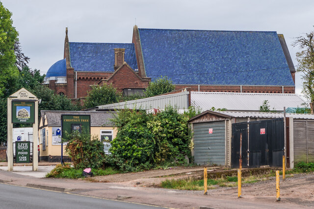
Image: © Ian Capper Taken: 24 Sep 2021
Rear entrances in Hearsall Lane to businesses in Craven Street, including The Chestnut Tree pub (see Image) with the roof of St Mary Magdalen Church (otherwise known as "the church with the blue roof" for obvious reasons) in the background - see Image
Images are licensed for reuse under creativecommons.org/licenses/by-sa/2.0
Image Location
Latitude
52.405498
Longitude
-1.534208